Heat from the sun is constantly interacting with the Earth's atmosphere. The irregular heating of the atmosphere coupled with the atmosphere's "desire" to maintain equilibrium results in the movement of large air masses, leading to different types of weather.
When an air mass moves into a region, it encounters the air mass that is already there. The boundary between these different air masses is called a front. When cold air is replacing warm air, it is known as a cold front. A warm front occurs when warm air meets cold air.
When a warm front encounters a cold air mass, it rides up over the top of the colder air. As it rises, it cools, & clouds are formed from condensation of water vapor. High cirrus clouds appear first, followed by mid-level clouds. Thick stratus clouds come next, and they may produce wind and precipitation.
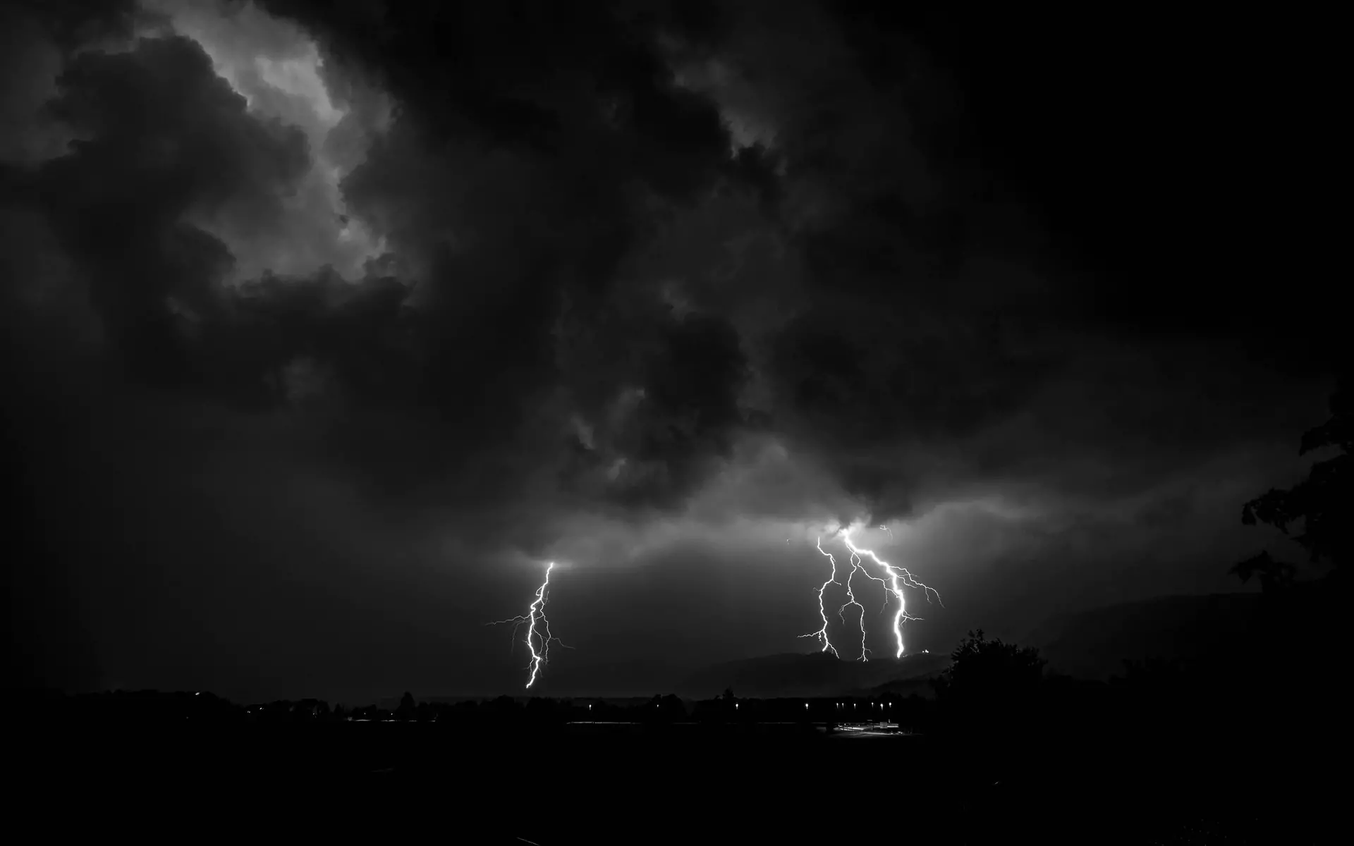
Weather produced by cold fronts is often more volatile. When a cold front meets a warm air mass, it forces the warm air sharply upward. This strong upward movement produces instability and convection. Large cumulus clouds form and storms are triggered along the front. The quickly rising air also creates an location of low pressure, strengthening the winds. Heavy rain and strong winds will accompany the actual front, with showers persisting after frontal passage.
Sometimes a normally slower moving warm front is overtaken by a cold front. When this happens, the warm front is pushed aloft. The two fronts continue to move together and the line between them is called an occluded front. Occluded fronts are usually accompanied by stratus clouds and light precipitation.
If two different air masses meet, but neither is strong enough to replace the other, a stationary front is formed. Weather near stationary fronts is usually cloudy with long periods of precipitation. Stationary fronts may dissipate after several days or may begin moving as a warm or cold front. Stationary fronts are more likely in the summer.
